Historic Building Survey


To book: contact@roofinspectionedinburgh.com or Tel: 0131 510 3231


Historic buildings hold stories of the past, and preserving their architectural heritage is essential. In recent years, the use of drones has revolutionized the way we conduct surveys, offering a unique perspective for the assessment and documentation of historic structures. In this article, we explore the fascinating world of historic building surveys using drones.
Contact Us

The Power of Aerial Perspective


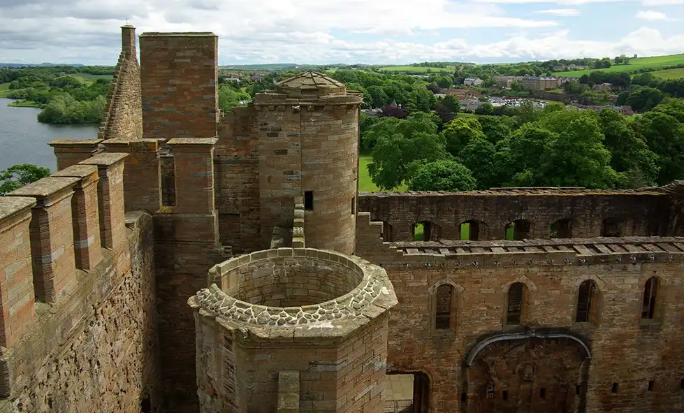
Historic buildings often feature intricate details that are challenging to capture from ground level alone. Drones equipped with high-resolution cameras and sensors can provide a bird's-eye view, capturing comprehensive visual data and revealing hidden architectural gems. Aerial perspectives enable surveyors to observe the entire structure, its surroundings, and contextualize the building within the larger landscape. This holistic view helps in assessing the building's condition, identifying areas of deterioration, and gaining insights into historical features that may have been overlooked from the ground.

Efficiency and Safety


Traditional methods of conducting surveys on historic buildings can be time-consuming, expensive, and pose safety risks. Accessing hard-to-reach areas such as roofs, towers, or facades often requires erecting scaffolding or using cranes. Drones, on the other hand, offer a safe and efficient solution. Equipped with obstacle avoidance systems, they can navigate complex structures with ease, reducing the need for human intervention at heights. This not only saves time and resources but also minimizes potential damage to delicate architectural elements during the survey process.

High-Quality Data and Documentation


Drones capture high-resolution images and videos, providing detailed visual data that can be invaluable for the documentation and preservation of historic buildings. The images obtained can be used to create orthomosaic maps, 3D models, and point clouds, allowing for precise measurements and analysis of the structure. These digital records serve as a historical archive, assisting conservationists, architects, and researchers in understanding the building's evolution, identifying changes over time, and planning restoration projects with accuracy.

Non-Destructive Testing


Drones equipped with thermal imaging cameras and LiDAR sensors have proven to be effective tools for non-destructive testing of historic buildings. Thermal imaging helps detect hidden moisture, insulation issues, or heat loss, aiding in the identification of potential structural problems. LiDAR sensors can create detailed 3D representations of buildings, measuring features such as surface deformation or subsidence without physical contact. These technologies enable surveyors to identify structural weaknesses and prioritize areas that require immediate attention while minimizing any invasive interventions that could harm the building.

Pricing


Small Inspection

£250
  • Single Building
  • Extensions
  • Roof Area 100-1000m sq

Large Inspection

£350
  • Medium Building
  • Multiple Buildings
  • Roof Area 1000-20000m sq

Large Inspection

£450
  • Large Building
  • Multiple Buildings
  • Roof Area 2000-10000m sq

Conclusion

The utilization of drones in historic building surveys has unlocked new possibilities for capturing, analyzing, and preserving architectural heritage. With their aerial perspective, efficiency, and non-destructive capabilities, drones provide valuable data and insights that aid in the conservation of historic structures, ensuring their legacy endures for future generations.

Contact Us

5 South Charlotte Street, Edinburgh EH2 4AN

Phone: (0131 510 3231)